The USGS is right along with the New Mexico Water Data Initiative, as we learn to share data through the Open Geospatial Consortium’s (OGC) SensorThings API format. In October 2021, as part of the Technical Working Group meeting, we heard from James Kreft of the USGS Center for Integrated Data Analytics. He shared the early efforts of the USGS as they work to integrate federal water data, as the agency recognizes the need to modernize their entire dataflow. Working with a fairly new internal data system, Jim’s focus is on making sure that water data is also externally easily accessible.
The USGS is focusing on implementing OGC’s SensorThings standards to make data accessible and usable; the first iteration is populated with over 14,000 monitoring locations in the US and over 50,000 data streams. Initial steps pair one sensor (e.g., a monitoring station) to a single location. Data users can now have dynamic, current, and accurate information. Additional metadata (information about the information!) will be added to each thing and measurement in future as well to add context and relevance to each data point.
At the moment, data is available to the public in a read-only format here. As data becomes available and trouble spots get worked out, more data and the context and complexity of each data stream will be added. The NMWDI is excited to see that the USGS, which sets the standard for water data (and other data!) for the country, is working with the SensorThings standard. This is exciting as it will make integrating these data in our own New Mexico water data projects relatively seamless.
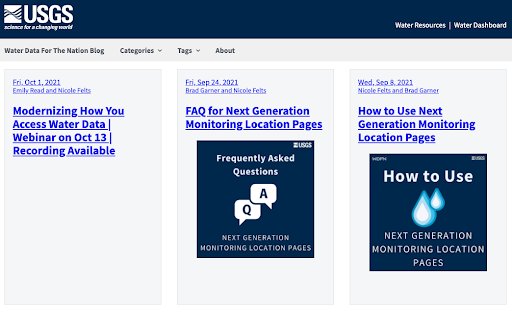
Updates and developments are available on the USGS Water Data blog. Additional information and technical discussion on this project can be reached on the USGS ESIP Slack channel.


