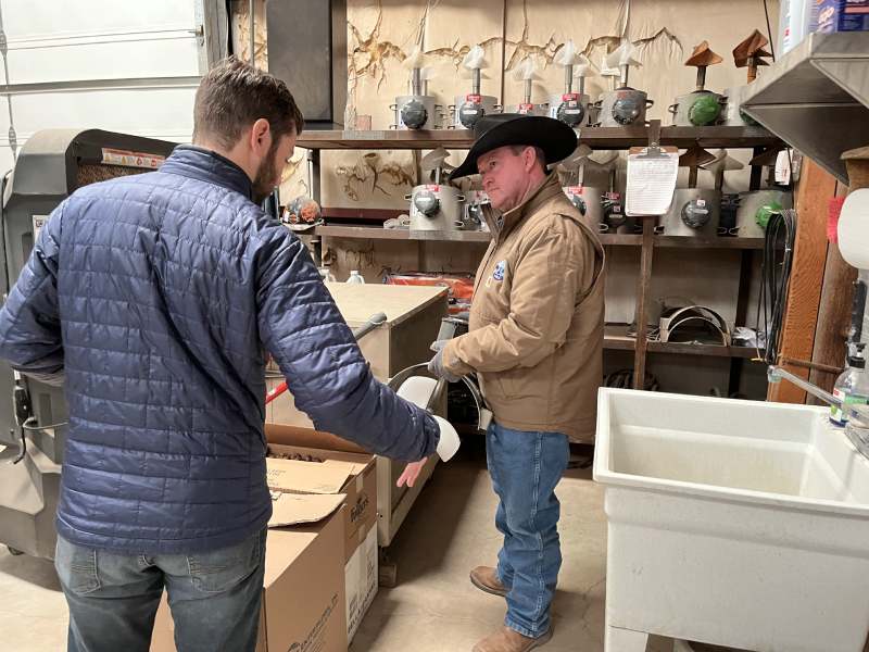
Joe Niece, PVACD operations manager, discusses meter installation with WDI’s Chris Cox.
WDI is currently collaborating with the Pecos Valley Artesian Conservancy District (PVACD) to build web applications to help manage and share data in the Pecos Valley region of southern New Mexico. This work is part of a U.S. Bureau of Reclamation WaterSMART applied science cooperative grant, which began in 2020.
In January 2023, The WDI team went to Roswell, New Mexico to visit the PVACD to learn in-person about details of their data workflow challenges and day-to-day operations related to water data. This visit also included getting feedback on some new applications WDI has in development.
One application in development provides improved, web-based data management for the PVACD team. This will provide capability for PVACD to track the water meters installed on wells in the district, and improve coordination and data sharing with the regional Water Master at the Office of the State Engineer. Additionally, the WDI team was able to observe one of the newly installed water level devices which are now tracking groundwater in the region in real time. Observing the PVACD’s work, helped WDI’s developers to better understand the basic requirements for the application.
Another tool WDI is developing with PVACD is a data system for the PVACD team and local collaborators with data access and quick visualizations of groundwater change over time. This is the second generation of a tool that was tested in March of 2022. This tool, the PVACD Groundwater Dashboard shows both real-time and historic water level data for ten groundwater monitoring wells within the conservancy district. This dashboard also provides monitoring data for nearby wells monitored by other agencies, including the New Mexico Office of the State Engineer, US Geological Survey, and the New Mexico Bureau of Geology. During the field trip, WDI was able to sit down with PVACD staff and board members, to solicit feedback on the groundwater monitoring dashboard. This feedback will be incorporated into subsequent iterations of the dashboard. The goal of the Water Data Initiative (WDI) is to improve how we share, integrate, and manage water data in New Mexico. One way to work towards this broad goal is to focus on regional projects with specific data needs, providing opportunities to learn and improve our data infrastructure. This field trip was a great way for WDI to learn more about PVACD’s operations and water data challenges. WDI gained valuable insights that will help with the development of the web applications for PVACD and other agencies in the future!

PVACD personnel remove the meter from a pipe to perform annual preventative maintenance.
